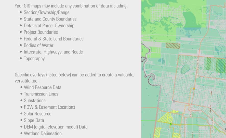
We also offer GIS services that integrate all aspects of your renewable energy projects into detailed and focused maps. We Provide a quick, visual reference of each site allowing you to make informed decisions. By illustrating the progress of land acquisition and synchronizing land information databases with project-specific maps, our GIS solutions play a critical role in offering a comprehensive, client-centered package.
Having created comprehensive acquisition maps for projects across the United States, our GIS division is experienced in working with local government agencies and researching GIS resources. This close collaboration ensures that we obtain project-specific data and information that can be mapped to meet your needs.
GIS services that allow you to maintain control and knowledge of your project’s progress
We also specialize in tailoring maps to meet a variety of needs:
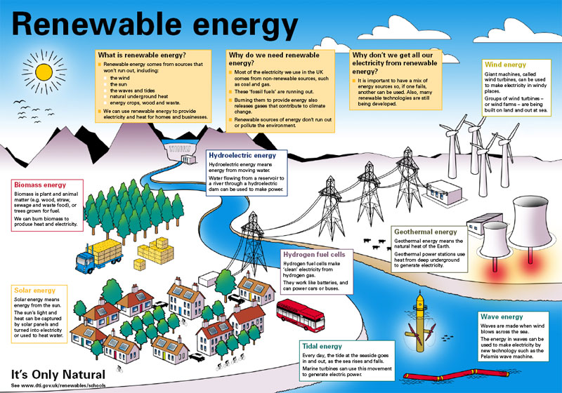
Energy analysis maps illustrating where wind or solar energy development could occur
Competition analysis maps
Land acquisition progression maps to track project evolution parcel by parcel
ROW & easement maps
Environmental permit maps
GPS data integration representing points of interest on your project